Storm Goretti Alert: Met Office Issues Rare Red Warning for Extreme Weather

Storm Goretti Alert: Met Office Issues Rare Red Warning for Extreme Weather
By Lucy Norris | January 8, 2026
Severe Weather Warnings Issued
As January brings its typical cold weather, the Met Office has issued several severe weather warnings ahead of Storm Goretti, expected later this week. With temperatures dropping below freezing, the forecaster has alerted the public about extreme winds and heavy snowfall, part of what they call a ‘multi-hazard event,’ set to impact the UK on Thursday, January 8, and Friday, January 9.
Areas Affected
The Met Office’s yellow weather warning highlights 57 areas in England and Wales expected to receive snowfall before the weekend. A rare red alert, the most serious warning, has been issued for the South West of England, with predictions of winds reaching 100 mph or more in Cornwall and the Isles of Scilly. Heavy snow is expected to hit Wales, the Midlands, and parts of northern England, with conditions likely to persist until at least Friday morning.
Met Office Statement
Met Office Chief Forecaster Neil Armstrong stated, ‘Storm Goretti will bring exceptionally strong gusts in the red warning area, potentially reaching 100 mph or more. Winds are expected to increase rapidly, with violent gusts lasting two to three hours before easing. Heavy snow will affect Wales, the Midlands, and parts of northern England overnight and into Friday morning, causing significant disruption.’
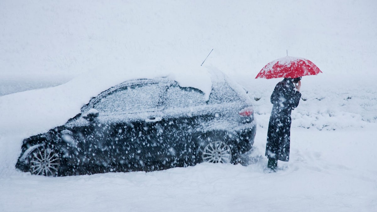
He continued, ‘Storm Goretti will bring snow to its northern edge, most likely over Wales and the Midlands. Accumulations of 10-15 cm are expected widely, with 20-30 cm possible in some areas, especially higher ground in Wales and the Peak District. An Amber warning has been issued where the greatest risk of disruption is likely on Thursday night into Friday morning. This is a complex spell of severe weather, and I advise people in the warning areas to stay updated with the forecast and messages from local authorities.’
Storm Naming and Expected Disruptions
The storm has been named by Météo-France due to its expected impact near northern France. Stronger winds than those anticipated in the South West are predicted to cause chaos in the Channel Islands and northern France.
Travel disruptions are likely, with train and bus routes expected to be most affected. Road users are advised to be cautious due to icy or snow-covered roads. Heavy rainfall is also expected, so motorists should prepare for adverse conditions, especially in the South of England on Thursday night.
Anyone planning to travel during the storm should plan routes carefully and ensure vehicles are equipped to handle harsh conditions.
For more information, visit the Met Office website.


